各種機器を導入し、働き方改革(生産性向上)に積極的に取り組んでいます。
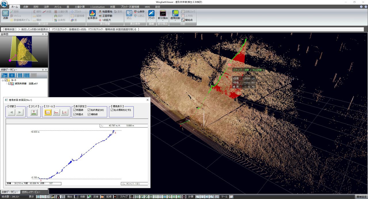
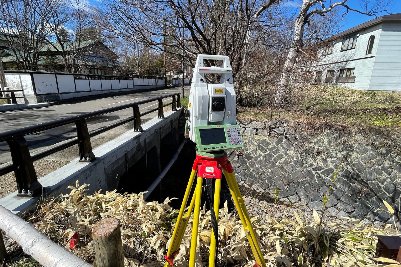
地上レーザースキャン測量
MS60
地上レーザースキャン測量の動作についてはこちらをご確認ください。
衛星による測量
GNSS
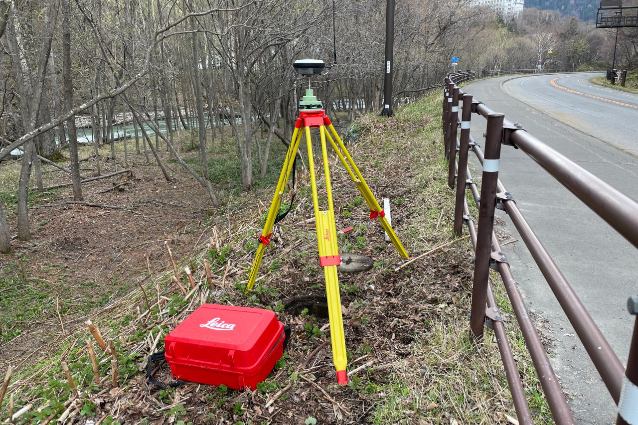
固定局
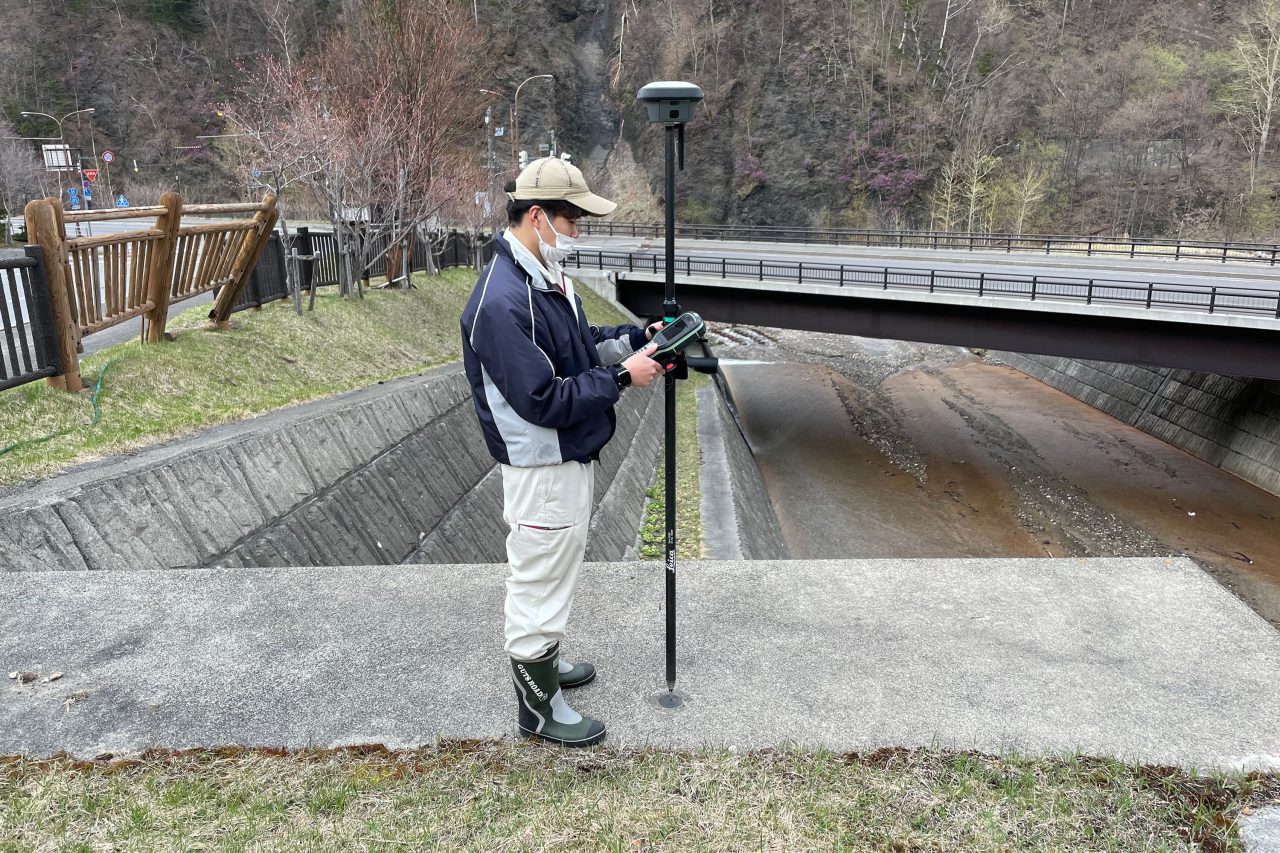
移動局(三軸補正あり)
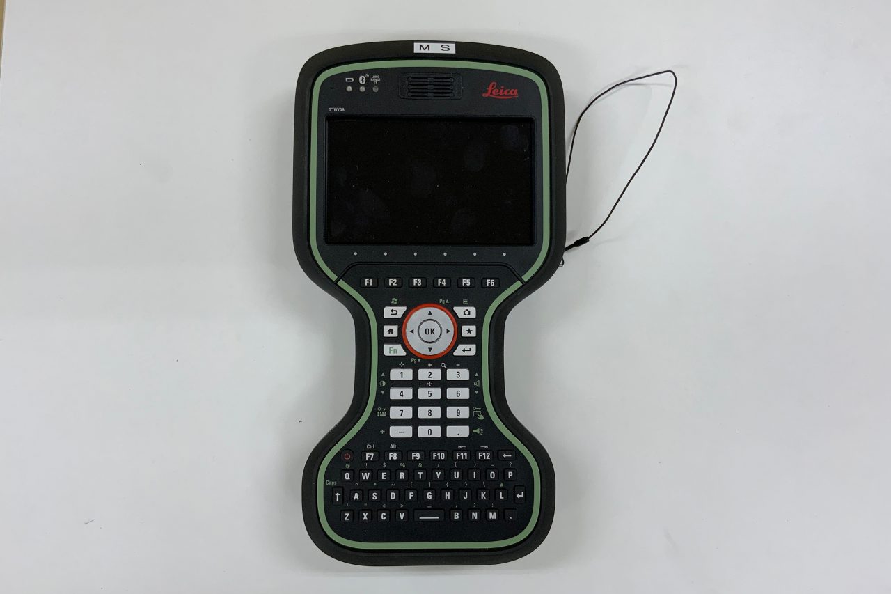
コントローラー
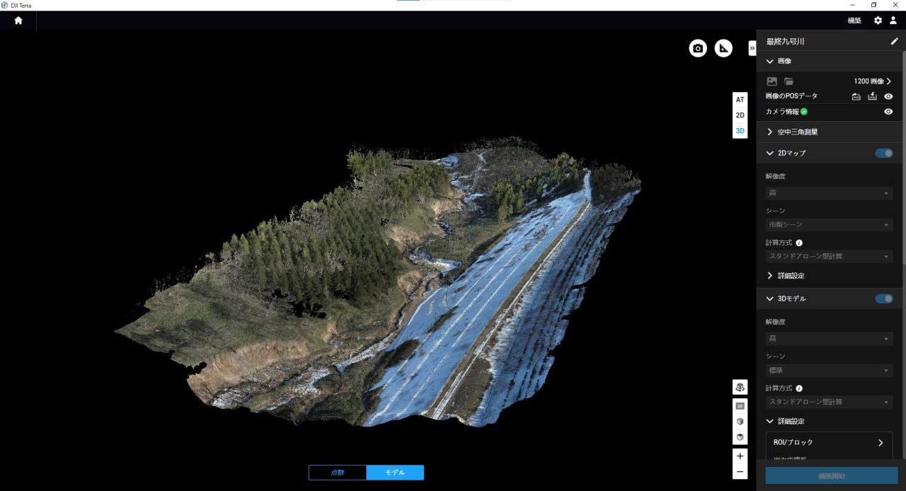
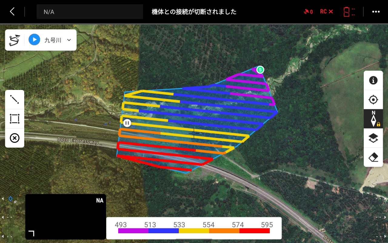
uav(ドローン)測量
Matrice 350 RTK
GPS(Global Positioning System)などの人工衛星による測位システム(GNSS)を使い、位置の補正や自動飛行などを行い、取得した画像から3次元地形データ・オルソ画像を作成します